Grants Awarded
Historic Auraria
Denver County
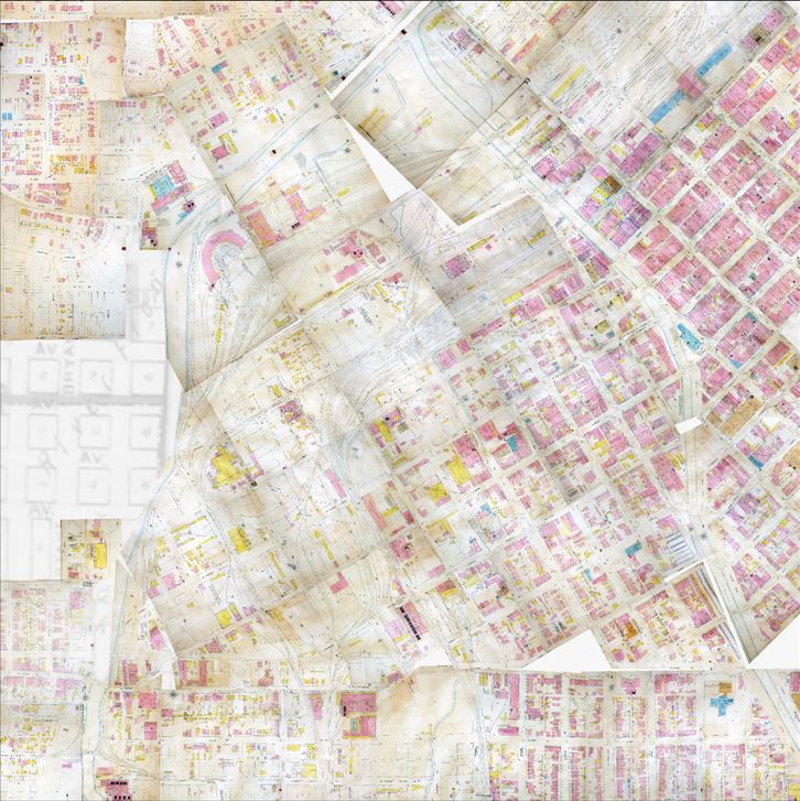
The Department of Geography and Environmental Sciences at the University of Colorado Denver has been hard at work developing a Geographical Information System (GIS) based around the Auraria district of Denver.
Once online, the GIS will be a publically accessible and interactive trove of information on historical and present-day Auraria, designed to foster community engagement, dialogue, and education about the community and the meaning of place. With grant funds from the SHF, the project will have the digital framework necessary to move into the final phases of development. Once completed, it will feature interactive maps, 3-D models, photos, records, and narratives of the district’s history. The project is focused on recapturing the lost past of the poor Auraria neighborhood before it was razed by business and government interests and converted to the education campus it remains today.

